Get outside and enjoy the parks. The Township of East Garafraxa has the following parks:
- Brookhaven Park
- Marsville Park
- Nature's Landing Park
- Old Carriage Park
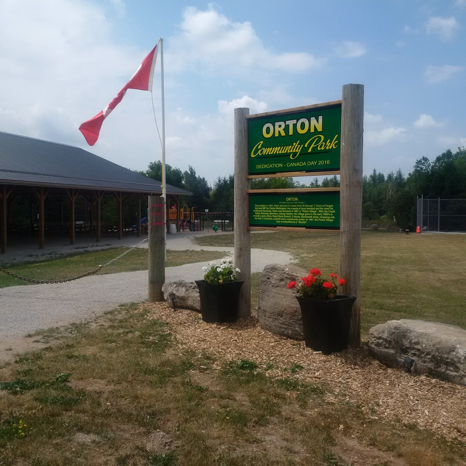
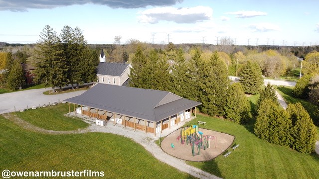
- Orton Community Park
- Rayburn Park
- Tot Haven Park
| Orton Community Park |
|
The Orton Community Park is located adjacent to the Orton Community Association’s facilities on John Street. The park includes a baseball field, playground and covered pavilion, which also serves as an outdoor skating rink. The Orton Community Association organizes many events in the park, including: Canada Day celebrations, kids’ baseball, baseball tournament, free outdoor skating rink, and more. Please contact the Orton Community Association for more information about activities and events in the park.
Park Location: 6 John Street, East Garafraxa L9W 7G4 Website: www.orton-community.com
|